
Description
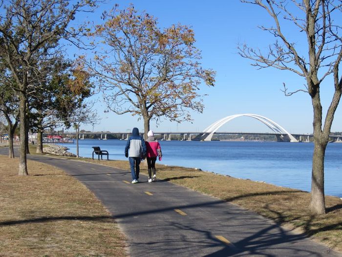
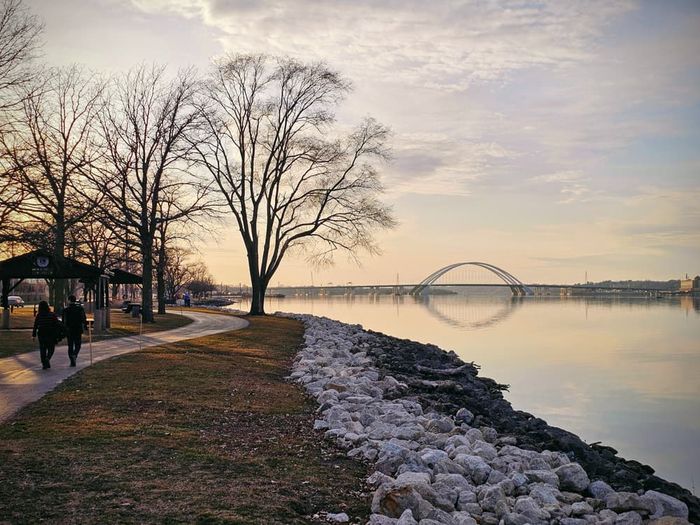
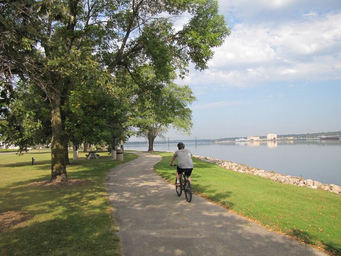
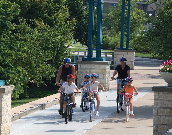
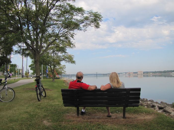
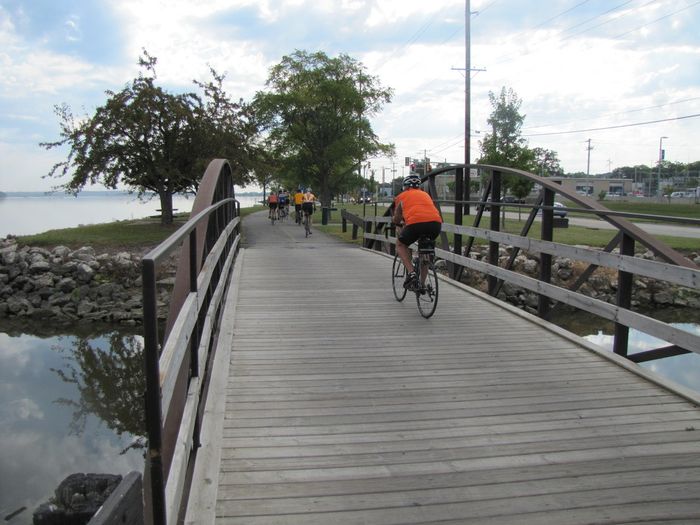
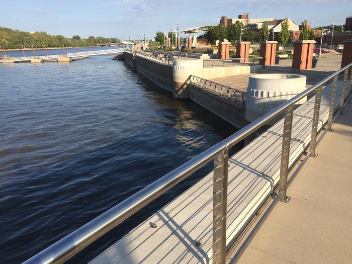
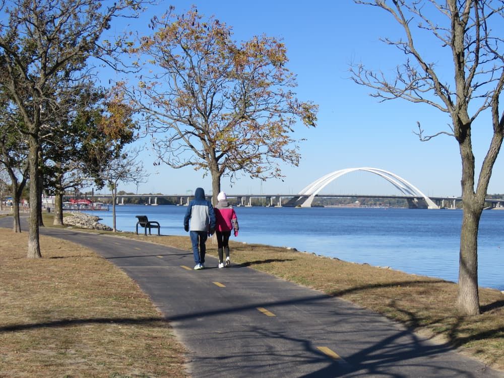
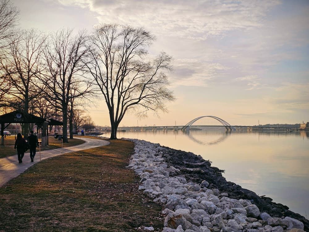
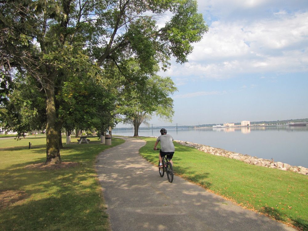
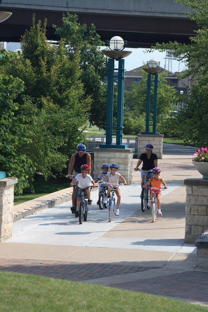
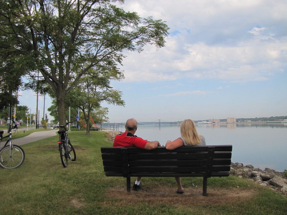
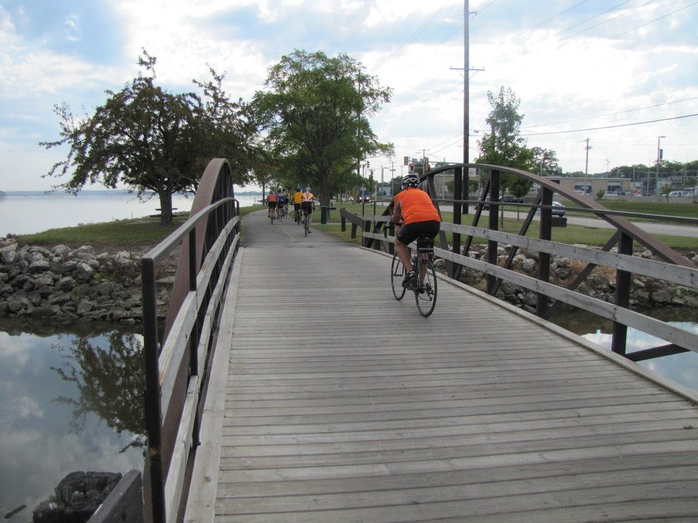
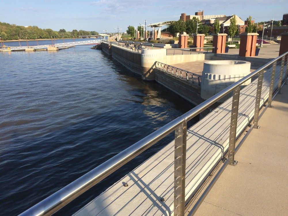
Running for over 60 miles from Rock Island to Savanna, Illinois, the Quad Cities' portion of the Mississippi River Trail in the Illinois Quad Cities is a continuous, flat, hard-surfaced multipurpose trail for all ages and abilities. The trail connects to many neighborhoods, shopping districts, and parks and recreation areas. Sweeping riverfront vistas are abundant all along the trail in Illinois and also along the MRT in Iowa.
In its entirety, the Mississippi River Trail -- coursing along America’s backbone, the Mississippi River, from its headwaters in Itasca, Minnesota to the Gulf of Mexico -- offers approximately 3,000 miles of on-road bikeways and pedestrian and bicycle pathways for the recreational enjoyment, health, conservation and tourism development of river communities, river states, and the nation. The trail provides access and connections to neighborhoods, commercial districts, industrial areas, recreational areas, and historical landmarks at the local, state, and national level.
Other Information
Within the Illinois Quad Cities region, local municipalities such as the cities of Rock Island, Moline, East Moline, Hampton, Rapids City, Port Byron, and Cordova, as well as Rock Island County Forest Preserve Commission maintain the MRT and promote access.
Sections of the Mississippi River Trail in this region are also part of the Great River Trail (GRT), the American Discovery Trail (ADT), and the Grand Illinois Trail (GIT). The Great River Trail runs some 66 miles along the Mississippi River from the Quad Cities (Sunset Park in Rock Island) to Savanna, Illinois. The American Discovery Trail traverses the U.S., coast to coast, from California to Delaware for more than 6,800 miles across 15 states. As it loops more than 500 miles between Lake Michigan and the Mississippi River, the entire Grand Illinois Trail joins together existing and proposed state and local trails to create the state’s longest continuous trail. It hugs historic canals, crosses unglaciated hills, parallels the Rock and Fox Rivers, and includes one of America’s first rail-trails.
Elevation Profile
The Mississippi River Trail in Illinois is comprised of many local trails along its route. Please refer to the individual trails that are listed under the section "Show Connector Trails" and view trail postings to see their elevation profiles. [Note: some of these connector trails are trails that intersect the MRT, but are not the MRT route itself.]
Trail Manager
For more information, visit the Mississippi River Trail Guide on the Ride Illinois website or contact local trail managers:

Parks Department
East Moline City Hall
915 16th Avenue
East Moline, IL 61244
(309) 752-1573

Parks and Recreation Department
4303 24th Street
Rock Island, IL 61201
(309) 732-7275
View website

19406 Loud Thunder Road
Illinois City, IL 61259
(309) 795-1040
View website

P.O. Box 77
520 1st Avenue
Hampton, IL 61256
(309) 755-7165
View website
P.O. Box 438
120 S. Main Street
Port Byron, IL 61275
(309) 523-3705
View website

P.O. Box 134
1204 4th Avenue
Rapids City, IL 61278
(309) 496-2321
View website

Nearby Geocaches

Trailhead Information
There are many access points and trailheads that MRT (Illinois) trail enthusiasts can utilize throughout the Quad Cities Region. The trail parallels the Mississippi River, and there are numerous trailheads next to or near the road, such as in Sunset Park in Rock Island; Ben Butterworth Parkway in Moline; Empire Park in East Moline; Heritage Park, Illiniwek Forest Preserve, and Fisherman's Corner in Hampton; Shuler's Shady Grove Park in Rapids City; and the riverfront park in Port Byron.
Trail Map