


Show Connector Trails
This trail is located close to or on open water, wetlands, or floodplain. Please use caution and be alert for water near or on the trail. Be alert for flooding and swiftly moving water. Check with your local trail manager for more information on closures during periods of high water.
Trailhead Information
The East Moline Riverfront Trail begins at its west end, linking with the Ralph B Birks Recreational Trail/Ben Butterworth Parkway in Moline, where there is ample parking and amenities. Additional access and parking can be found at the Beacon Harbor Welcome Center and further along at Empire Park off of N 20th Street.
Description
Trail enthusiasts will encounter the Beacon Harbor area, which offers a visitors center and The Quarter, a multi-family housing development, with a public/private boating docks. There is also a large wetland, where nature lovers can often view a variety of flora and fauna. The trail continues along the riverfront, a flat concrete and asphalt surface, and links to the Hampton portion of the riverfront trail at Empire Park with its variety of recreational opportunities, including shelters with electricity, picnic areas, a giant jungle gym playground area, rolle bolle courts, restrooms, and parking.
The East Moline Riverfront Trail is part of the larger the Great River Trail (GRT) system. Running for 60 miles from Rock Island to Savanna, Illinois, in the Illinois Quad Cities, the trail is a continuous, flat, hard-surfaced multipurpose trail for all ages and abilities. As the GRT winds through riverfront communities and countryside, walkers, runners, and cyclists will enjoy breathtaking views of the Mississippi River, abundant wildlife, and opportunities for shopping and dining.
Other Information
The East Moline Riverfront Trail is also part of two other significant trail networks: the Mississippi River Trail (MRT) and the American Discovery Trail (ADT). The 3,000 mile Mississippi River Trail system that follows the Mississippi River from the headwaters in Itasca, Minnesota to the delta at the Gulf of Mexico near New Orleans, Louisiana provides access and connections to neighborhoods, commercial districts, industrial areas, recreational areas, and historical landmarks at the local, state, and national level. The American Discovery Trail traverses the U.S., coast to coast, from California to Delaware for more than 6,800 miles across 15 states.
Elevation Profile

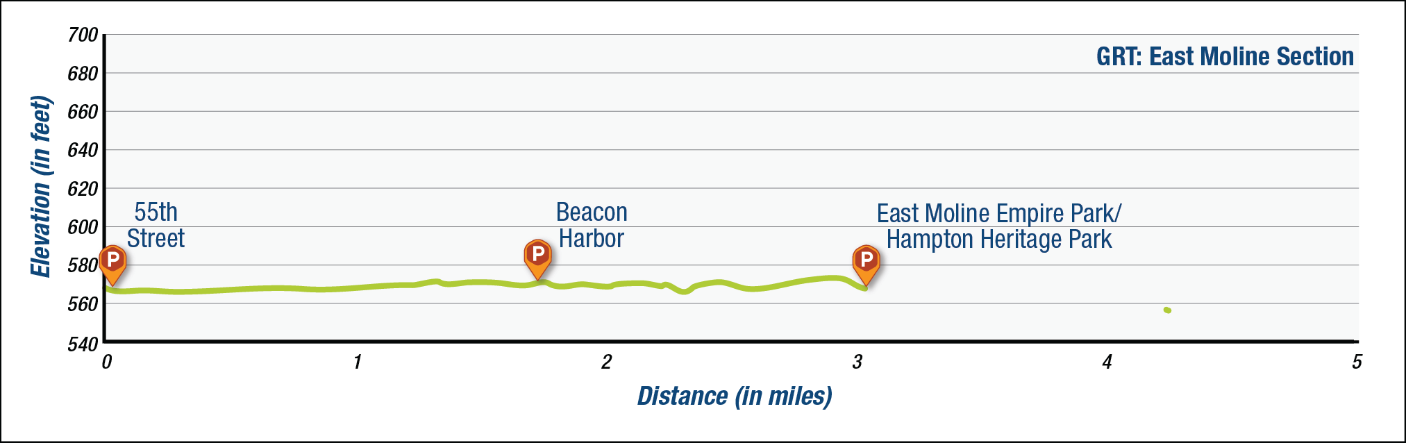
The elevation profile above approximates terrain along the specified section of trail and is provided for general information. Use your best judgment to choose trails with elevation changes to match your comfort level. See QC Trails Terms of Use for more information.
Trail Manager
Visit the City of East Moline Parks and Facilities online for more information or contact:

City of East Moline, Illinois
Parks Department
East Moline City Hall
915 16th Avenue
East Moline, IL 61244
Phone: (309) 752-1573
Photos
Comments
No comments.