

Show Connector Trails
Paddling conditions will vary according to the weather and season, so always exercise caution and always wear a lifejacket; be prepared to swim and never boat alone. File a float plan with a friend who will check up on you. With good judgment and proper equipment, the risk associated with paddling can be minimized. Respect the natural world and the rights of landowners, and be considerate of other outdoor enthusiasts. Paddlers should seek to avoid causing erosion, trampling vegetation, disturbing wildlife, and harming water quality.
Stay out of the main channel (designated by green and red buoys) and industrial areas, and be aware of traffic when crossing the river. At first sighting, a tow heading in your direction is usually 2-3 miles away, leaving you 20-30 minutes to relocate to a more comfortable location on the river. Being aware of river traffic can help you safely paddle the Mississippi.
Safety is critical when paddling the Mississippi or Rock Rivers. Be sure to monitor water conditions before starting your trip. Remember, Mississippi waters are the first to cool off and last to warm up. Be sure to check current conditions at Locks & Dams 14 and Locks & Dams 15.
This trail is located close to or on open water, wetlands, or floodplain. Please use caution and be alert for water near or on the trail. Be alert for flooding and swiftly moving water. Check with your local trail manager for more information on closures during periods of high water.
Trailhead Information
There are many access points along this section of the Rock River National Water Trail*; please see the above map for their locations.
![]() * The National Water Trails System is a distinctive national network of exemplary water trails that are cooperatively supported and sustained. The National Park Service is the primary administrator that works in partnership with local management of the designated water trails.
* The National Water Trails System is a distinctive national network of exemplary water trails that are cooperatively supported and sustained. The National Park Service is the primary administrator that works in partnership with local management of the designated water trails.
Description
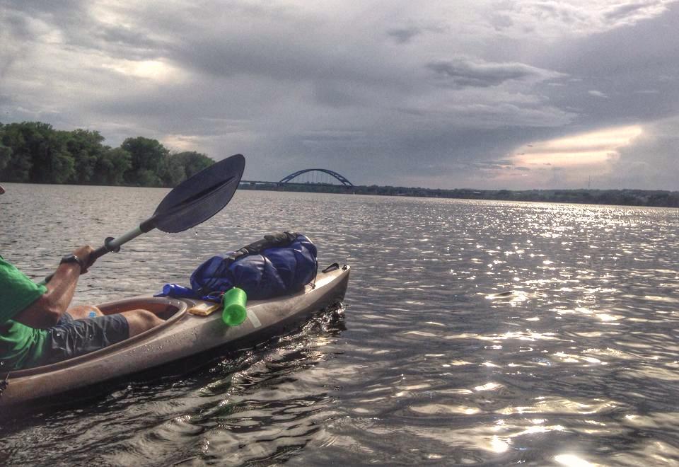
This segment of the Rock River National Water Trail begins at the Glen Miller Marina (Erie Boat Ramp). It is 19 miles between here and the next access point at the Cleveland Boat Ramp, making this first part of the trail more challenging by its length than other sections. The scenery is rural, the river wide and much of the shoreline undeveloped, with islands common in the Hillsdale area. A state historical marker commemorating an event in the Black Hawk War is located on the Hurd Road Bridge over the river. There is an undesignated access site that could be used as an intermediate rest area at the IL-92 Bridge, 11 miles downstream of Erie and 8 miles from the Cleveland Boat Ramp.
Less than a mile downstream of the Cleveland Boat Ramp and just before the I-80 Bridge is Lundeen’s Landing in Barstow on river right, a privately-owned campground with a store and launch facilities. Five miles further down river the Hennepin Canal joins the Rock at lock number 29 on river left. The City of Colona has a park and boat launch facility at lock 29 and paddlers can use the launch for take-out, as a rest stop or to paddle a ways on the Hennepin. About a quarter mile from Hennepin Canal Lock 29 the Green River enters the Rock on river left.
The river environment continues as rural landscape with little development for the next 4 miles to Green Valley Park on river right at Moline. After Green Valley, the landscape of this segment changes quickly to urban within the Quad Cities metropolitan area. Care should be exercised when approaching Ben Williamson Park as the local water ski club, the Backwater Gamblers, uses the park access for practice and shows.
Safety considerations mean that paddlers should approach the Milan Steel Dam on river left soon after passing Ben Williamson Park. Traveling river right to the Sears Dam should be avoided; safe portage of that dam is not available. Take out before the Steel Dam at Hennepin Canal Lock 30. Put in at a safe distance below the dam in the tailwater or paddle the Hennepin for a ways before crossing the canal bank to the river. Near the end of Vandruff Island a series of mild rapids occur in the location of the US-67 Bridge. On the bluffs at river right is the Black Hawk State Historic Site on land that was Saukenuk, the main village of the Sauk Nation.
The last 3 miles before the Mississippi River are rural in landscape. Continue on the water trail to river right and look for the Pettifer Slough that connects the river with Lake Potter and Sunset Park and Marina. Alternatively, paddle to the Mississippi and head upstream on river right to Sunset Park. From Sunset Park trailhead the traveler can enjoy the many recreational, cultural and historical interests in the river communities of the Quad Cities area.
Other Information
This paddling route is part of the larger Rock River Water Trail, a delineated path on the 320-mile Rock River that connects access sites, resting places and attractions for users of water craft. The trail enhances public use of the river for recreation with wayfinding and amenities such as restrooms, shelter, parking and camping. While the water trail is primarily designed for use by paddle craft, it also provides significant recreational value to those who enjoy swimming, fishing, hunting, wildlife viewing, pleasure boating and river stewardship.
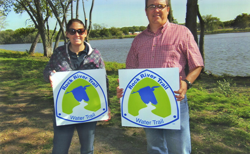
The Rock River Trail is a system of recreational trails on and along the Rock River that goes through 11 counties in Wisconsin and Illinois. This QC Trails featured trail is part of that network. The Rock River Trail was established in 2010 to promote recreational use and appreciation of all 320 miles of the Rock River. Visit the trail online to learn more about how to hike, bike, paddle, horseback ride, drive, fly, or appreciate history, art, or chocolate along the trail!
Trail Manager
Visit the Rock River Trail online for more information or contact:

Rock River Trail
Phone: (920) 296-8771
waterdown845@gmail.com
Photos
Featured Videos
Comments
No comments.